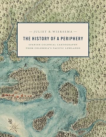
 The History of a Periphery: Spanish Colonial Cartography from Colombia’s Pacific Lowlands (Joe R. and Teresa Lozano Long in Latin American and Latino Art and Culture)
by: Juliet B. Wiersema (Author)
Publisher:University of Texas Press
Publication Date: 9 Jan. 2024
Language:English
Print Length:256 pages
ISBN-10:1477327746
ISBN-13:9781477327746
Book Description
An exploration of Colombian maps in New Granada. During the late Spanish colonial period, the Pacific Lowlands, also called the Greater Chocó, was famed for its rich placer deposits. Gold mined here was central to New Granada’s economy yet this Pacific frontier in today’s Colombia was considered the “periphery of the periphery.” Infamous for its fierce, unconquered Indigenous inhabitants and its brutal tropical climate, it was rarely visited by Spanish administrators, engineers, or topographers and seldom appeared in detail on printed maps of the period. In this lavishly illustrated and meticulously researched volume, Juliet Wiersema uncovers little-known manuscript cartography and makes visible an unexamined corner of the Spanish empire. In concert with thousands of archival documents from Colombia, Spain, and the United States, she reveals how a “periphery” was imagined and projected, largely for political or economic reasons. Along the way, she unearths untold narratives about ephemeral settlements, African adaptation and autonomy, Indigenous strategies of resistance, and tenuous colonialisms on the margins of a beleaguered viceroyalty.
About the Author
Review Wiersema’s well-researched and elegantly argued book is a sterling addition to the scholarship of the Spanish colonial empire, Indigenous and African peoples, and colonial frontiers. The author’s focus is on manuscript maps, which were included with written reports, and directed at a limited audience of imperial officials. Their purpose was not purely illustrative; nor were they meant to serve as charts to guide seamen, travelers, or administrators. This multidisciplinary study allows the reader to perceive the ways in which the managers of the Spanish Empire incorporated the local knowledge held by Indigenous people and the African and European sojourners at the empire’s far periphery into their systems of planning and thought. As such, the maps were akin to Columbus’s letters, or the narratives of the conquistadors—many were aspirational in depicting a hoped-for colonial future. — Ignacio Gallup-Díaz, Bryn Mawr College, author of The Door of the Seas and Key to the Universe: Indian Politics and Imperial Rivalry in the Darién 1640–1750 About the Author Juliet B. Wiersema is an associate professor in the Department of Art and Art History at the University of Texas at San Antonio. She is the author of Architectural Vessels of the Moche: Ceramic Diagrams of Sacred Space in Ancient Peru.
未经允许不得转载:电子书百科大全 » The History of a Periphery: Spanish Colonial Cartography from Colombia’s Pacific Lowlands (Joe R. and Teresa Lozano Long in Latin American and Latino Art and Culture)

